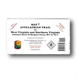
 Sold out
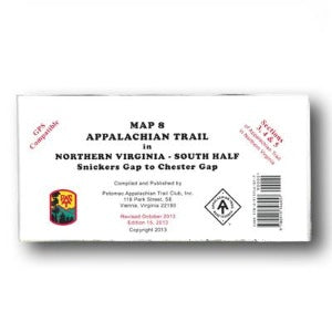
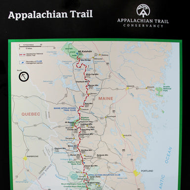
Appalachian Trail Conservancy
A Trail's Worth of ATs
$12.95
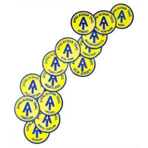
How many variations of the A.T. monogram can you find along the Trail and capture on an 18" x 24" poster? After her 2008 thru-hike, Sarah Jones cam...
View full details
$12.95